Introduction: The Rise of Drones in Smart Cities
Drones’ smart infrastructure is no longer a futuristic concept. In today’s rapidly evolving urban ecosystems, drones are emerging as indispensable tools for planners, engineers, and policymakers. As cities expand and the demand for real-time, accurate data grows, drones provide the speed, precision, and cost-efficiency that traditional tools often lack.
From surveying rooftops to monitoring bridge stability, drone technology has become a critical component in shaping and sustaining smarter, safer cities. This article explores how drones are transforming urban infrastructure monitoring and what this means for the future of city development.
The Benefits of Using Drones in Urban Infrastructure
Improved Efficiency and Cost Savings
Unlike manual inspections, which are time-consuming and labor-intensive, drones can cover large areas quickly. They reduce the need for scaffolding, helicopters, or ground teams, drastically cutting operational costs.
High-Resolution Data Collection
Drones equipped with advanced cameras and sensors capture high-resolution imagery and thermal data. These visuals are essential for identifying structural weaknesses or maintenance issues early, allowing timely intervention.
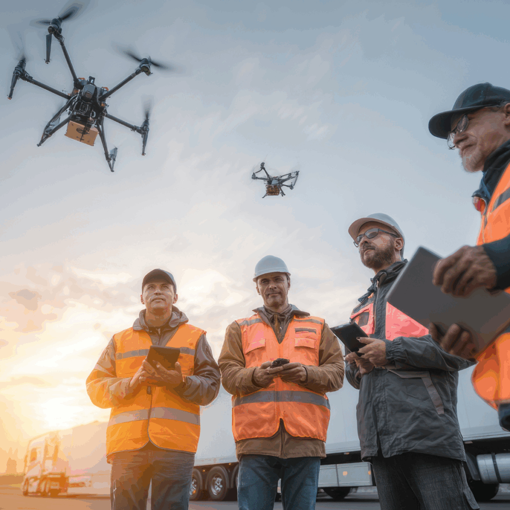
Enhanced Worker Safety
Inspecting rooftops, tall buildings, or bridges can be dangerous for workers. Drones mitigate these risks by accessing hard-to-reach areas without putting human lives at risk.
Key Applications of Drones in Smart Infrastructure Projects
Urban Planning and 3D Mapping
City planners use drones to create real-time 3D maps and models. These visuals help simulate new developments, assess land use, and support zoning decisions.
Traffic and Road Monitoring
Drones assist in analyzing traffic flow, road conditions, and pedestrian patterns. This data supports better decision-making in transport planning and congestion management.
Bridge and Building Inspections
Using drones to inspect bridges and high-rise buildings is more efficient than traditional methods. These aerial inspections can detect cracks, corrosion, and thermal anomalies without disrupting traffic or building access.
Disaster Response and Recovery
In the aftermath of natural disasters, drones provide real-time aerial views, helping emergency teams assess damage and prioritize recovery efforts.
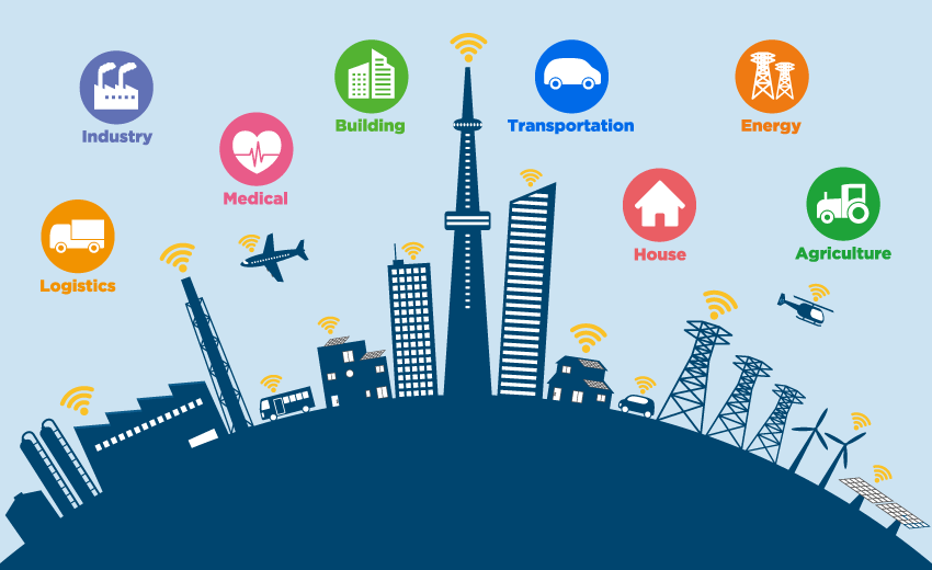
Integrating Drones with IoT and AI
The Future of Autonomous Monitoring
As smart cities grow, drones will increasingly be integrated with IoT platforms and AI systems. This integration allows for automated flight paths, predictive maintenance alerts, and real-time data synchronization with city management systems.
Data-Driven Urban Intelligence
When paired with AI, drone-collected data can be analyzed to uncover trends and patterns—such as heat islands or structural fatigue—giving municipalities the tools to take preemptive action.
Challenges and Considerations
Regulatory and Privacy Concerns
Urban drone operations must comply with airspace regulations and address citizen privacy concerns. Cities must develop clear frameworks for how, when, and where drones can operate.
Data Management and Security
Drones collect vast amounts of data. Storing, managing, and protecting this information is essential to prevent breaches and ensure ethical use.
Conclusion: Aerial Innovation for Smarter Cities
From energy efficiency to structural health monitoring, drones smart infrastructure tools are helping cities evolve more intelligently and sustainably. As drone technology continues to advance and integrate with broader smart city systems, its role in infrastructure management will only grow more vital.
Municipalities looking to build resilient, efficient urban environments must start investing now—not just in drones, but in the frameworks that make their deployment scalable and secure.MTi Arabia remains committed to supporting municipalities in aligning infrastructure with insight, making cities not just smarter, but more strategic. Contact our team to explore how we can help you build safer smart city environments.